
Franklin Neighbors Across the Block
No single government list identifies every household around a Franklin address. Start with public geography. Johnson County GIS and Beacon place parcels beside one another, recorded plats explain lot and block relationships, and city planning files show petitions or projects tied to land. Historical maps and directories add older building and occupant clues. Each source has a limit, so the result should say owner, applicant, voter, or organization member only when that is the role the record proves.
| Source | What It Shows About a Block | Access |
|---|---|---|
| Johnson County GIS / Beacon | Parcel edges, roads, nearby lots, public layers, and a route to owner records | Official viewer; live mechanics can change |
| Recorder plats | Lots, blocks, easements, streets, and development phases | Recorder index or counter |
| City and county planning | Petitions, proposed uses, hearings, conditions, and affected parcels | Document center, meeting packets, or records request |
| Voter records | Individual registration status or an approved precinct or walking list | Indiana portal or lawful VRG-24 request; protected data withheld |
| Local archives and groups | Past occupants, community history, public leaders, and events | Library, museum, or organization-controlled access |
An assessor's owner name is not a household roster. The mailing address may belong to a trustee, company, or owner who lives elsewhere. A homestead deduction can be a useful clue, but it does not name each occupant. Likewise, a public organization page shows only what the group chose to publish. Verify roles and avoid turning a partial record into a claim about all your neighbors.
See Franklin's Adjacent Parcels
The official county description says the GIS route supports owner, address, and parcel-ID searching, with parcels, aerial views, layers, distance tools, printing, and feature identification. The live jcmaps entry now routes through the county's mapping system, and exact buttons may change. Use the map as a visual index, then open the underlying parcel record before noting an owner.
Begin at one verified situs address, the physical parcel location. Zoom only far enough to see the street frontage and touching polygons. Record parcel IDs or legal descriptions for the few lots relevant to the question. Do not copy a tax mailing address into a public note. The surrounding polygon shows a land boundary, not the bounds of a household.
Access the Johnson County GIS description for the official route. The map is also useful when a Franklin postal label falls outside the incorporated city.
Franklin Neighborhood Contacts
Franklin has public community layers, but no complete city-maintained neighborhood association list or public HOA roster was located. Two organizations offer useful contact points without claiming to represent every household. Their pages can connect a reader with public events, leaders, or member businesses. Private membership should remain private.
Downtown Neighborhood Association
Downtown civic organization with a public member and contact layer. Use the Franklin DNA members page to find published organization information, not a household census.
Choose Franklin
A citywide civic and economic-development connector. Its organization page can point toward public groups and programs, but it is not an official resident roll.
City Planning Boards
Plan Commission and BZA records identify public meetings, petitions, and affected parcels. Search the city document center by address, project, or meeting date.
The Downtown Neighborhood Association source shows its public member layer in the captured view.
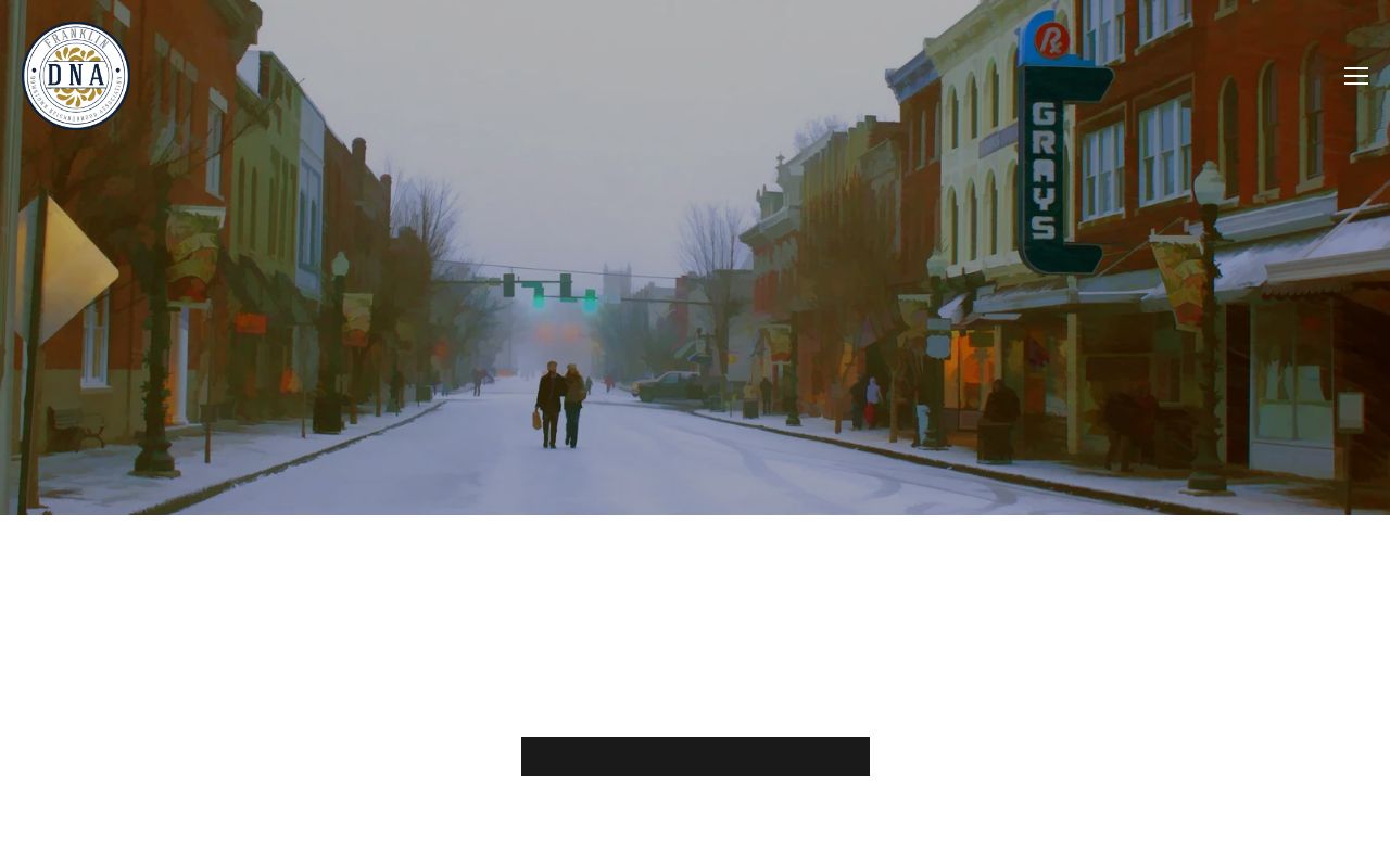
The image confirms an organization-controlled directory, which should not be expanded into claims about nonmembers or nearby households.
Franklin's Citywide Civic Layer
Choose Franklin can help locate public community contacts when no citywide neighborhood roster exists. Review the Choose Franklin organization source before using the captured page.
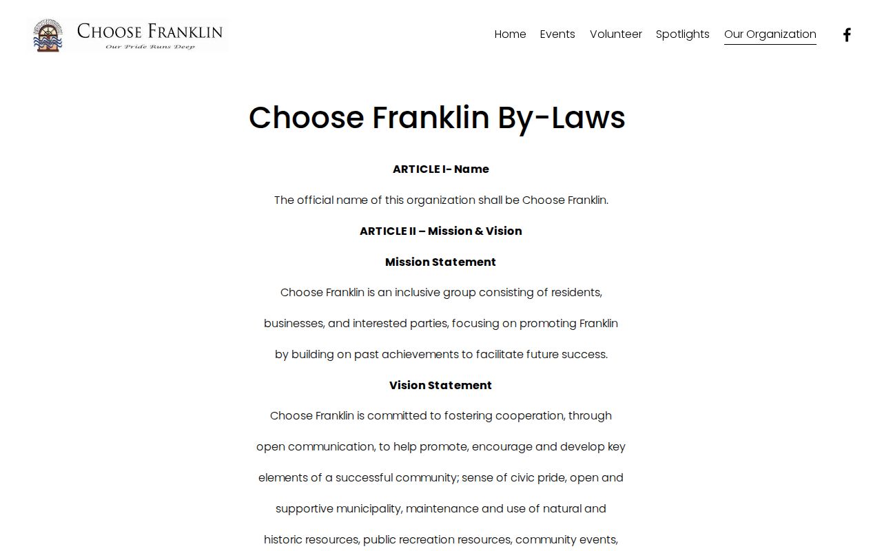
The organization provides a civic bridge, not proof that a named person lives on a specific block. Ask a public group to forward a message when direct contact is the goal. That method respects privacy and can work better than trying to build an incomplete list of neighbors.
Historical groups require the same care. The Johnson County Museum and the Dan Mitchell Historical Room hold yearbooks, church material, directories, newspapers, and civic history. A public record of an old club or congregation may place someone in Franklin at a point in time, but no consolidated current religious or civic membership index was found.
Map Franklin Neighbors by Parcel
A short, controlled process keeps a neighbor search tied to the immediate block. It also prevents the full named-street chain from being repeated here.
- Normalize the target street number, directional, suffix, and unit. Find it in Johnson County Beacon by address.
- Confirm the situs address, parcel ID, and legal description. Pan to the lots touching its sides, rear, or street frontage.
- Open only the adjacent parcel cards needed. Record the owner role and keep situs and mailing fields distinct.
- Check the Recorder's plat, subdivision, lot, and block fields when parcel boundaries or development phases need explanation.
- Review city or county planning records for public block activity. Switch to the Franklin street directory only when the question covers the entire named street.
The path is address to parcel, then adjacent polygons, then owner roles, plat context, and public planning activity. A map does not identify renters or family members. If an assessor card and a deed disagree, use the document dates and legal description before deciding whether the conflict reflects a sale, recording delay, or simple search error.
Franklin Block Activity Records
Planning and zoning files show what is happening around a block without pretending to list its residents. Franklin's document center can hold board packets, petitions, minutes, and address-based municipal records. County Planning handles land-use and development files where Johnson County has jurisdiction outside the city.
Open the Franklin city document center before reviewing its captured interface.
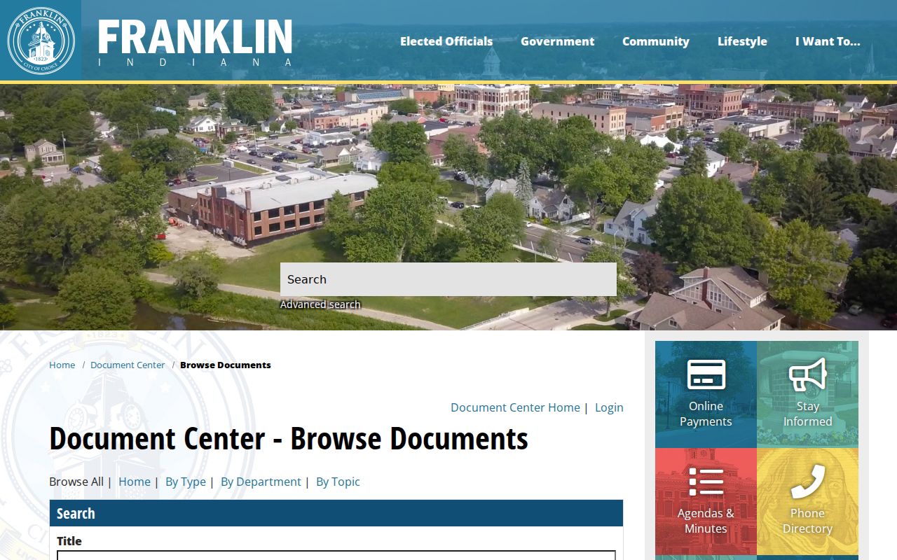
The city collection can connect an address with a public project, applicant, board action, or date. It should not be read as a list of everyone on the block.
For parcels beyond city jurisdiction, consult the Johnson County Planning page shown in the next capture.
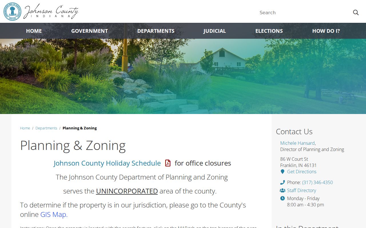
This county route supports land-use verification and improvement-location, access, stormwater, or development questions when the city document center is not the custodian.
Franklin Voter Records by Block
Indiana's public voter portal is an individual check, not a browseable street list. It asks for first name, last name, date of birth, and county of current registration. A correct response can confirm registration and election information for the person searched, but it does not reveal all Franklin neighbors around an address.
A broader voter-file request uses State Form VRG-24 and a stated lawful purpose. County election officials apply the request rules, required agreement, and redactions. Address Confidentiality Program participants are protected, and confidential identifiers are not ordinary lookup results. Use a precinct or walking list only as authorized and never publish protected addresses.
Note: Parcel adjacency and voter registration are separate facts, and neither alone establishes who occupies a Franklin household.
Official Franklin Rolls Compared
Commercial neighbor tools may merge old filings, address histories, and inferred associations. An official record is narrower, but it is clearer about the source and the role shown.
| Source category | Strength | Common limit |
|---|---|---|
| County parcel and plat records | Dated land, owner, and boundary evidence | Does not list every occupant |
| Election records | Official registration data under Indiana rules | Individual portal and confidentiality limits |
| Community organizations | Current public contacts and events | Membership may be private or incomplete |
| Commercial compiled tools | May collect broad leads quickly | Stale addresses, duplicate names, and inferred ties |
Prefer the smallest official source that answers the question. When an organization is the likely connection, use its public contact and ask it to forward a note rather than seeking private member details.
Protect Franklin Neighbors' Privacy
Public parcel lines, deeds, and meeting files do not make a block's private life public. Utility accounts, private mailing data, household makeup, and organization membership are not free resident layers. The Indiana Address Confidentiality Program shields participating residents' address information in government records, and other protections can apply to certain officials and law-enforcement personnel on public property websites.
If a public record exposes information that should be protected, contact the office that keeps it and document the precise record. Indiana's Access to Public Records Act supports access to public material, but it also contains exceptions and does not cancel confidentiality laws. A correction request should identify the record and the error rather than circulate the disputed data.
Lawful use. Research Franklin neighbors for civic contact, personal safety awareness, or reconnection. Never use records to watch, threaten, harass, or harm anyone.