
Franklin ZIP Coverage at 46131
Franklin's verified working postal area is 46131. Official city and Johnson County addresses use it repeatedly, but the number describes mail delivery rather than the corporate boundary. Some nearby county addresses can carry Franklin as their postal city even though city government does not control the parcel. No second Franklin ZIP, box-only code, or unique institutional code was confirmed in the source review. That gap matters: a useful ZIP code directory should show one supported row instead of filling a table with guesses.
| ZIP Code | Areas Covered | Post Office | Notes |
|---|---|---|---|
| 46131 | Franklin city mailing addresses and nearby Johnson County addresses using Franklin delivery | Franklin postal delivery; verify the exact address through USPS | Postal edge does not equal the Franklin city line or a parcel boundary |
Use the USPS ZIP Code Lookup in Address mode for a specific property and in City and State mode to check the postal city. Save the lookup date because delivery assignments can change. The result confirms postal wording and, for a complete address, ZIP+4. It does not identify an owner, occupant, voter, or city jurisdiction. Those questions move to Johnson County GIS and the relevant custodian.
Franklin Mailing Labels Explained
Three geographic labels overlap here. Franklin is an incorporated city, it is the Johnson County seat, and it is also a postal city name. Those labels often agree near the courthouse and central neighborhoods. They can split at the edge. County offices may describe a parcel as being in a township or unincorporated area while USPS still routes its mail through Franklin.
For local jurisdiction, use the parcel map and municipal boundary. For mail, use USPS. For population figures, use Census geography. Franklin city is identified by FIPS 1825450, while Johnson County is FIPS 18081. Census QuickFacts reports 25,313 city residents in 2020 and a July 2025 estimate of 26,743 across 14.04 square miles. Those figures give scale, not a list of names. They also explain why a small portal result should never be presented as everyone in 46131.
Boundary key. A Franklin postal address may be outside Franklin city, so confirm government jurisdiction with the county parcel map.
Verify Franklin Addresses With USPS
The postal lookup offers three practical routes. Choose the route that matches what is known, then move to an official record system for any identity question. No USPS result is a resident roll.
| Lookup route | Information entered | What the result establishes |
|---|---|---|
| By Address | Street, city, and state | Standard postal city, ZIP, and ZIP+4 for the address |
| By City and State | Franklin and Indiana | ZIP codes returned for that postal city at the time searched |
| Cities by ZIP | A known ZIP such as 46131 | Postal city names associated with the code |
Enter a complete street suffix and unit when one exists. If USPS and a deed use different wording, preserve both in the research notes. The postal version is suited to delivery. The legal description and parcel number are better bridges to recorded plats, deeds, and land records.
Search Franklin Records by ZIP
A ZIP-wide search is not equally available in each official system. The county FAQ confirms that Schneider Beacon accepts owner, address, and parcel-ID searches, but an accessible ZIP filter was not verified. Indiana's voter portal uses a person's first name, last name, birth date, and county, not a ZIP. The state business and professional-license searches do expose ZIP fields, though those results show business or license ties and do not prove residence.
- Verify the full address and 46131 designation with USPS. Record the standardized spelling and ZIP+4 when returned.
- Open Johnson County Beacon by street address or parcel. Use the map to test city placement rather than assuming it from the mailing city.
- Use the Indiana business or license search only when that type of affiliation is relevant. Add city, county, status, or profession filters so a statewide ZIP match is not mistaken for a household.
- For an individual voter check, use the required name, birth date, and county fields. A lawful voter-file request follows the election office process and confidentiality limits.
- Once a parcel or short street segment is known, move to the Franklin street directory workflow for address-level records.
This order prevents a common error: treating every record tagged 46131 as a home inside Franklin. A registered agent may use an office, a professional may list a work site, and a tax notice may go to an address far from the parcel. Compare the role named in the result before drawing any conclusion.
Three Franklin Address Keys
A ZIP code directory works best when postal and land-record terms stay separate. The county trail uses three address keys, and each can point somewhere different.
- Situs address
- The physical location assigned to the parcel or building.
- Mailing address
- The destination for assessment or tax correspondence, which may belong to an owner, trustee, firm, or recipient elsewhere.
- Legal description
- The lot, block, subdivision, or metes-and-bounds description that identifies land even if a street name changes.
- Parcel number
- The county's record key for linking the assessment card and mapped parcel.
Recorder search fields can include subdivision, lot, block, parcel number, section, township, range, and quarter. Those fields connect an old legal description to a modern map. A tax mailing address is only a correspondence field, not proof that the named owner lives there.
Note: Keep the parcel number and legal description when Franklin postal wording differs across old and current sources.
Where Franklin ZIP Filters Work
Official portals use ZIP information in different ways. The difference is more important than the mere presence of a field.
| Official source | ZIP behavior found | Best use | Limit |
|---|---|---|---|
| USPS Lookup | Address, city/state, or known-ZIP mode | Postal verification | No person or ownership proof |
| Johnson County Beacon | ZIP filter not confirmed; address search confirmed | Parcel and city placement | Owner is not necessarily an occupant |
| Indiana Voters | County required, not ZIP | Individual registration check | Not a bulk street directory |
| Indiana business search | ZIP in advanced fields | Entity and agent affiliation | May be an office address |
| IPLA license verification | ZIP and county fields available | Professional license status | License location is not residence |
The business search also supports entity name, business ID, filing number, registered-agent name, status, street, and city. The license search can narrow by profession, name, license type, status, county, city, and ZIP. Use those roles as printed. Neither portal should be converted into a household claim.
Franklin Before Modern ZIP Codes
Do not force 46131 into records created before ZIP codes. The 1895 Johnson County directory sorted entries by name, post office, occupation, and land description. A Franklin post office entry could refer to rural land beyond today's incorporated city. Section, township, range, acreage, and transfer notes are stronger historical locators than a modern postal overlay.
Later Franklin directories include editions from 1931, 1935, mid-century years, and uneven runs through 2013. Search the printed post office, street, cross street, surname, and publisher's abbreviation key. If an address number shifted, use a plat, legal description, or Sanborn map to bridge it. No official Franklin-wide renumbering year was found, so the absence of a modern match should be treated as a prompt to check older map and planning records.
Franklin ZIP and City Limits
Postal and government boundaries answer separate questions. USPS determines delivery labels. Franklin and Johnson County records establish land jurisdiction, while recorded deeds preserve the legal parcel identity. A 46131 result can therefore be correct for mail and still fall outside the city. Check the official Johnson County GIS description and Beacon placement when the city edge matters.
- ZIP and ZIP+4
- A ZIP groups a delivery area. The four added digits narrow delivery to a smaller segment, building, or group of boxes.
- PO-box ZIP
- A code used for post-office boxes rather than ordinary street delivery. None was verified for Franklin.
- Unique ZIP
- A code assigned to one high-volume organization. No Franklin example was located.
- Carrier route
- A postal delivery path inside a ZIP. It is not the same as a neighborhood, precinct, or city district.
The county GIS screenshot shows the official boundary and mapping route. View the Johnson County GIS source before using the captured interface below.
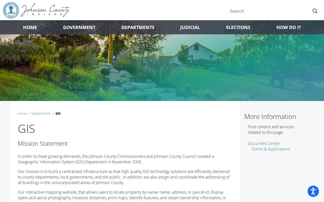
The county page places address research in the parcel and boundary system, which is the proper check when a Franklin mailing label and city jurisdiction may differ.